High-Precision Positioning for Cyclists
Location-as-a-Service (LaaS) is an edge-cloud solution for high-precision positioning of cyclists that supports assistance systems such as the traffic light phase assistant, collision warnings, and the digital railway crossing.

Curbside Management for Cities and Municipalities
Curbside Management captures curbside areas in real-time, enabling flexible use by different road users: efficient, dynamic, and privacy-compliant.
Safe and Comfortable Preferred Routes for Your Bicycle
Our goal is to increase the share of cycling by reducing barriers and fears that keep people from riding a bike. Through the dynamic calculation of feel-good routes — routes perceived as fast, safe, and pleasant — we specifically address vulnerable groups such as older people and less confident cyclists.
Cleaner Air App for Better Cycling
Get to know more!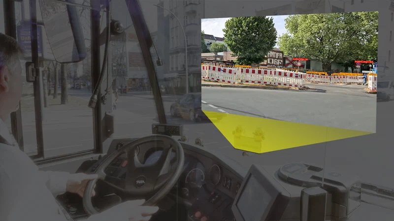
DiKAS
DiKAS tests a data protection-compliant solution for continuous construction site recording in the Berlin road space. Using a smartphone app, construction sites, traffic signs, and other traffic facilities are detected during regular trips to improve construction site monitoring and make administrative processes more efficient.
KIS’M project
KIS’M tested AI-powered mobility solutions with autonomous shuttles at Berlin TXL Campus and on public roads. The project aimed to enable safe and efficient on-demand transport without on-board staff.
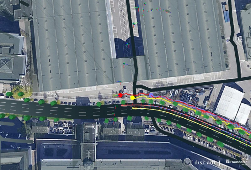
ConnRAD Project
ConnRAD develops resilient system architectures, protocols, and reference solutions for connected driving functions. A key goal is the assessment of the reliability of information for safety-critical applications.
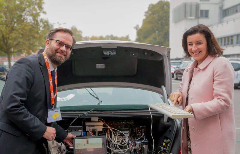
TEAM – Cooperative Mobility for Europe
TEAM develops concepts for elastic mobility and cooperative strategies for travelers. The focus is on cooperative applications that have been tested across Europe.